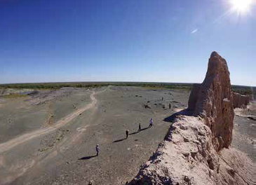
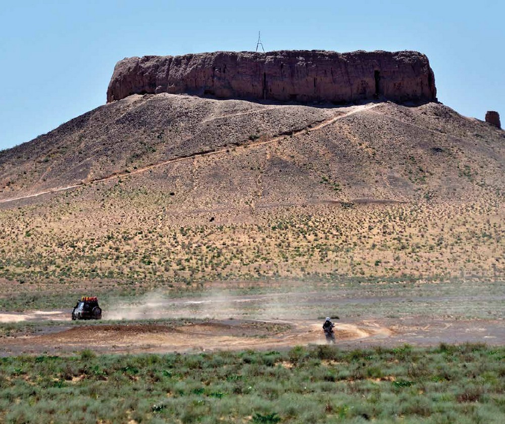
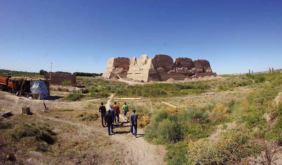
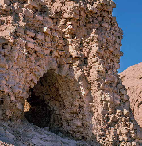
The natural gateway to the lands of lower Khorezm in the north is the passage through Sultanuizdag ridge, washed by waters of Amu Darya. Powerful fortresses Gyaur Kala and Djanpyl Kala defended this passage, their ruins are now located today southeast of Karatau settlement. On the hills between the fortresses there are the remains of signal towers dated to 10th–13th centuries. Djanpyk Kala in the past sat on the bank of Amu Darya and was used as a river port. Today, next to the remains of the fortress (only a contour of the walls and buildings of the western part are preserved) only a narrow channel washes the northern forests tugais of the Badai Tugai Reserve.
 |
|
|
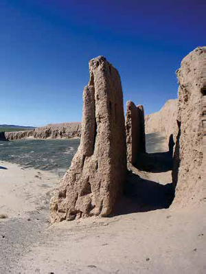
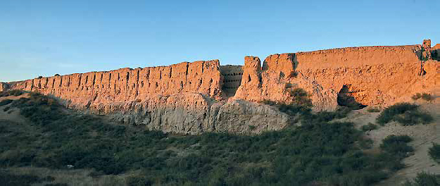
At the background black and dark green stone ridges are adjacent to the east part of the fortress providing a surprisingly scenic view. The base of the fortress belongs to the 4th century BC. The outer walls and towers date back to the 9th–12th centuries; later buildings inside the fort are dated to 12th–14th centuries. Near the western wall of the fortress there is a large building - a citadel or palace with an area of 23×50m, its walls were made of half-columns - corrugations. Their separate sections are preserved to a height of 14m.